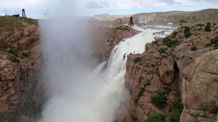
I usually start reporting on river flows and water reservoirs affecting western Nebraska in early May, but with recent national news about the spillway at the Oroville Dam in California, you may be wondering about the status of snowpack water content and the reservoir levels along the North Platte River in Wyoming.
North Platte River Basin in Wyoming
First, a little background. The North Platte River basin in Wyoming is approximately 22,000 square miles, about one quarter of the state. Several smaller sub-drainages make up the North Platte River drainage: the Upper North Platte, Sweetwater, Lower North Platte, and the Laramie River. A small portion of the South Platte River drainage lies in southeastern Wyoming. Water from these drainages eventually makes its way into Nebraska.
As you can see, there is a fair amount of water equivalent for this time of year. While these numbers are good indications for snowmelt runoff, they can change and will only have real meaning in April and May when runoff occurs.
Table 1. Current snow water equivalent and total precipitation values for each of the sub-drainages as of Feb. 13, 2017. (Source: University of Wyoming)
| Drainage | Snow Water Equivalent (% of Median) | Total Precipitation (% of Average) |
|---|---|---|
| Upper North Platte | 133 | 133 |
| Sweetwater | 218 | 184 |
| Lower North Platte | 117 | 93 |
| Laramie River | 125 | 121 |
| South Platte River (Wyoming) | 118 | 121 |
*The snow water equivalent percent of median represents the snow water equivalent found at selected SNOTEL sites in or near the basin compared to the median value for those sites on this day.
*The total precipitation percent of average represents the total precipitation (beginning October 1) found at selected SNOTEL sites in or near the basin compared to the average value for those sites on this day.
Table 2. Current reservoir levels in the North Platte River System in Wyoming. (Source: https://www.usbr.gov/gp-bin/hydromet_teacup.pl)
| Reservoir | Total Capacity (Acre-Feet) | Current Level (Acre-Feet) | Percent of Total (%) |
|---|---|---|---|
| Seminoe | 1,017,273 | 760,332 | 75 |
| Kortes (regulating) | 4,739 | 4,729 | 100 |
| Pathfinder | 1,070,000 | 916,896 | 86 |
| Alcova | 184,405 | 157,306 | 85 |
| Gray Reef (regulating) | 5,332 | 5,332 | 100 |
| Glendo (+ flood pool) | 492,022 | 326,093 | 66 |
| Guernsey | 45,612 | 0 | 0 |
Reservoir System
The reservoir system in Wyoming along the North Platte River is made up of seven reservoirs, starting from the upper reaches: Seminoe, Kortes, Pathfinder, Alcova, Gray Reef, Glendo and Guernsey.
As it stands now, there will be a good snowmelt runoff this spring. How much? The U.S. Bureau of Reclamation will make their best estimate in April when they hold their annual North Platte River water update meeting at the Panhandle Research and Extension Center. There is enough water in the reservoirs at this time for an average irrigation run. At this time, it will take 621,586 acre-feet of water to fill the reservoirs. A typical snowmelt runoff is around 700,000 acre-feet.
Kortes and Gray Reef reservoirs regulate the flow from Seminoe and Alcova, respectively; they do not have much storage capacity. Guernsey reservoir is at zero, due to maintenance on the main spillway gate. Glendo is the main flood control reservoir on the system. With a capacity of about 900,000 acre-feet, if there are major releases of water upstream, there is approximately 400,000 acre-feet for the “flood pool” storage.


